
search
17th arrondissement Paris map
Map of 17th arrondissement Paris. 17th arrondissement Paris map (Île-de-France - France) to print. 17th arrondissement Paris map (Île-de-France - France) to download. Paris, 17th arrondissement, Rather bourgeois residential and not very touristy. This district on 17th arrondissement Paris map is located in the north west of Paris, south of the North ring road and is limited to the east by the avenues of Clichy and Saint Ouen, south by the boulevards of Courcelles and Batignolles and South West by the Avenue of the Grande Armée and Place de l'Etoile.
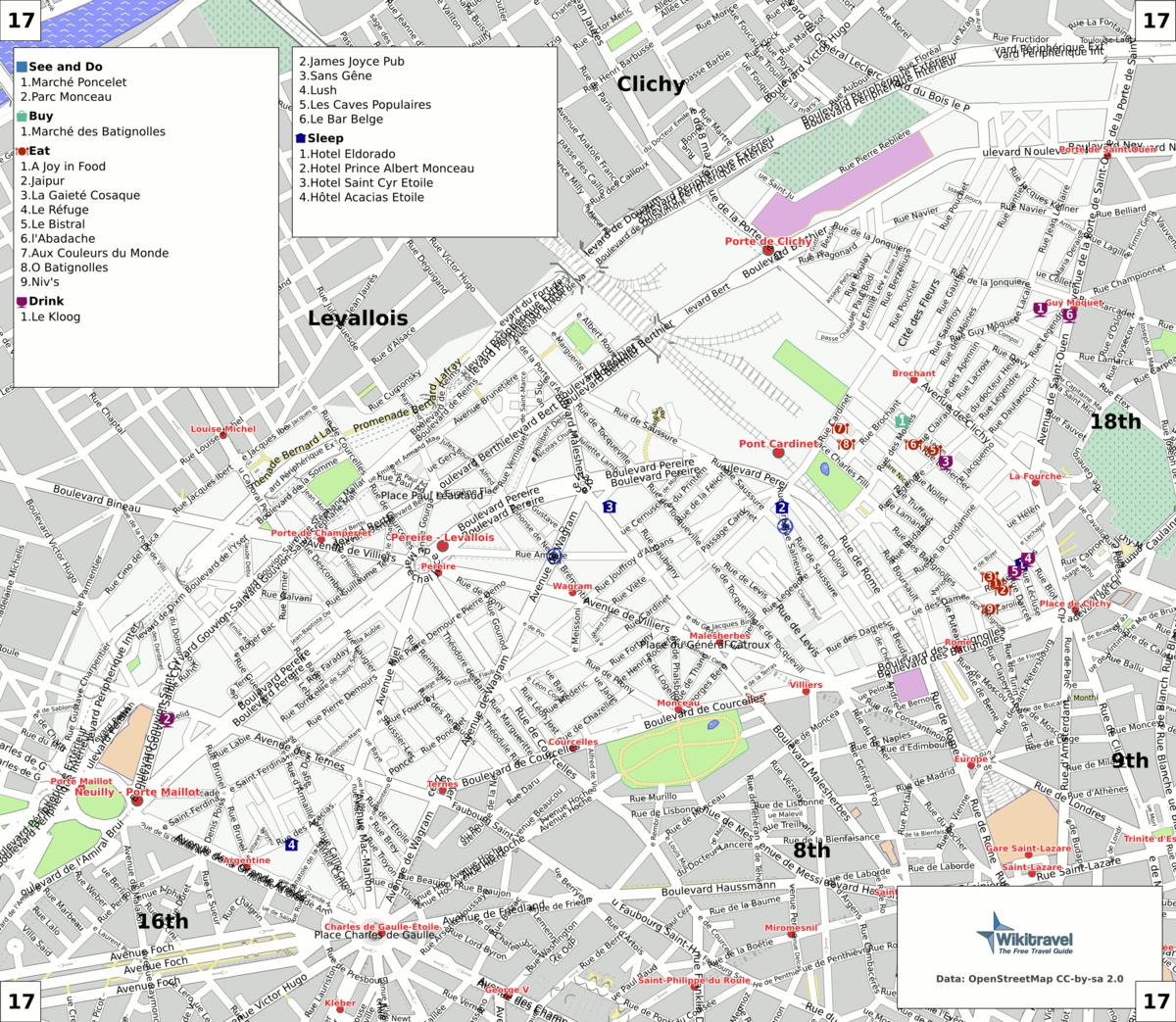
The land area of the 17th arrondissement Paris is 5.669 km2 (2.189 sq. miles, or 1,401 acres). The 17th arrondissement Paris is situated on the right bank of the River Seine, this arrondissement is divided in 4 administrative districts as its shown in the 17th arrondissement Paris map: Ternes and Monceau in the southwestern part, two upper-class districts which are more Haussmannian in style; in the middle of the arrondissement, the Batignolles district, an area mostly occupied by young families or couples, with a marked gentrification process; in the north-eastern part, the Épinettes district, a former industrial district gone residential, which is mainly middle class and also experiencing a less advanced gentrification process.[