search
Vincennes Paris map
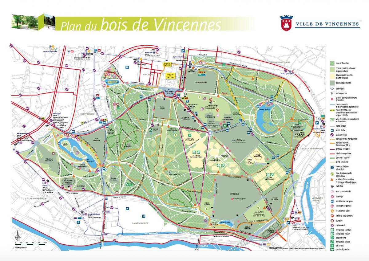
Map of vincennes Paris. Vincennes Paris map (Île-de-France - France) to print. Vincennes Paris map (Île-de-France - France) to download. Vincennes Paris is located east of Paris as its shown in vincennes Paris map, these two municipalities are part of the Val de Marne (94) in Ile de France. As many people say, this is the Neuilly Sur Seine of eastern Paris. The wood, the beautiful old buildings and the mixture of a dynamic population on one side and an aging population on the other side effectively reminds us of this city of 92. Sticked to the 12th arrondissement of Paris, they have direct access to the Daumesnil lake and the Bois de Vincennes, which makes these 2 residential communes very sought after by families with young children.
Vincennes Paris is located at the gates of Paris, on the edge of the Bois to which it owes its name, Vincennes combines a strong identity inherited from history and a privileged geographical location, thanks in particular to excellent public transport links that make it easily accessible. The city and its direct surroundings offer visitors and residents of eastern Paris a diverse range of tourist attractions as its mentioned in vincennes Paris map, from the castle to the Bois and the architectural attractions of the seven districts of Vincennes.


