
search
Paris map 1900
Paris map 1800. Paris map 1900 (Île-de-France - France) to print. Paris map 1900 (Île-de-France - France) to download. In 1900 it was the peak of the Little Belt, with 40 million travelers as you can see in Paris map 1900. It took 1h20 to make the tour of Paris. For the Universal Exhibition of 1900, the section Courcelles Ceinture - Champ de Mars was inaugurated, which included a common section. The number of travellers peaks at 30 million. The Universal Exhibition of 1900 is the last to be organized in Paris after those of 1855, 1867, 1878 and finally that of 1889 (the exhibition of the centenary of the French Revolution marked by the construction of the Eiffel Tower).
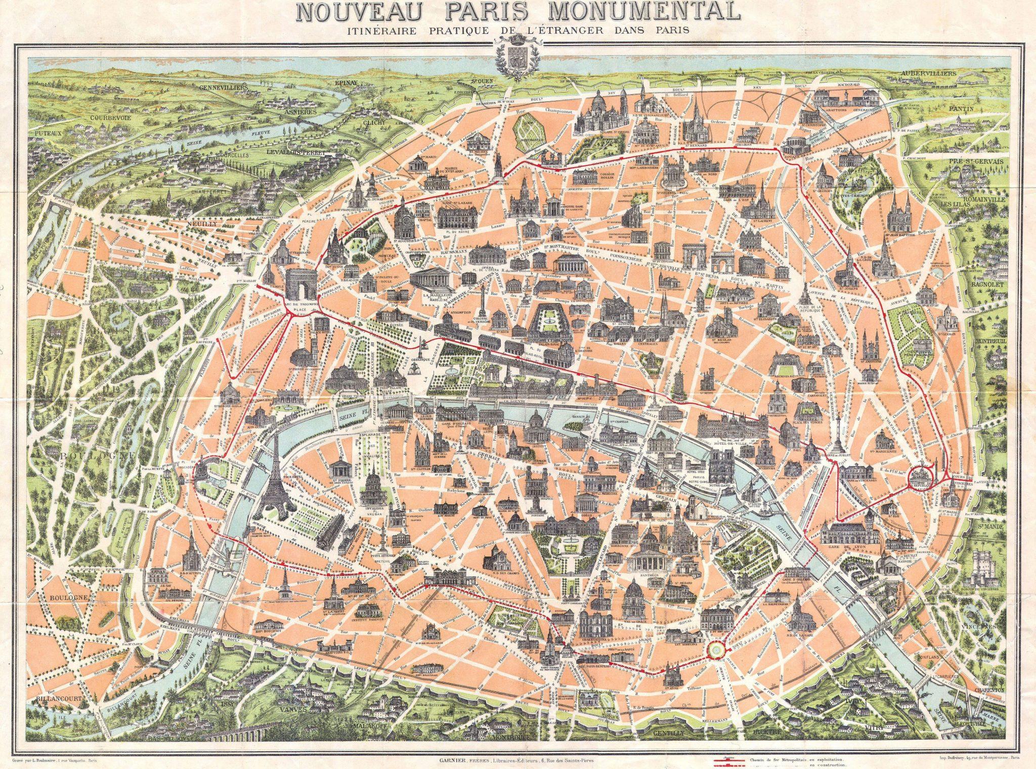
Originally, the exhibition of 1900 in Paris was to mark the new century: that of electricity as its shown in Paris map 1900. A magical invention that was to change the face of the world. Electricity, "it is the plague, it is the religion of 1900", according to the writer Paul Moran. The exhibition was inaugurated on April 14, 1900 in Paris by the then president Émile Loubet and closed on November 12, after 212 days of opening.