search
Paris topographic map
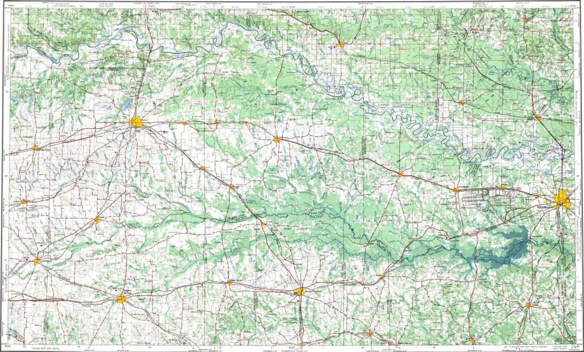
Topographic map of Paris. Paris topographic map (Île-de-France - France) to print. Paris topographic map (Île-de-France - France) to download. Even though Paris is one of the densest cities in the world it is comparable to London only by accounting for all of its agglomeration. Indeed, on Paris topographic map the size of the English capital intramural is 1 572 km ², against only 105 km ² for Paris. In 2018,Paris topographic taking into account its agglomeration, the City of Light has 8.3 million people for an area of 1 305 km².
Paris is located on the Seine where there are two topographic islands that form the historic heart of the city: the Ile de la Cite to the west and the Ile Saint-Louis , to the east as its shown in Paris topographic map. Within this limit, on both sides of the river, several reliefs consisting of outlier gypsum form small hills . On the right bank, this is Montmartre (131 m), culminating in the Calvary Cemetery , of Belleville (128.5 m), culminating in the streets of the Telegraph , of Ménilmontant ( 108 m), the Buttes-Chaumont (103 m), Passy (71 m) and Chaillot (67 m). On the left bank, are the high points of Montparnasse (66 m) of the Butte-aux-Quail (63 m) and the Montagne Sainte-Geneviève (61 m).


