
search
Aerial map of Paris
Map of aerial Paris. Aerial map of Paris (Île-de-France - France) to print. Aerial map of Paris (Île-de-France - France) to download. The city of Paris occupies 41 square miles of the Ile de France, or Paris Plateau, within the Paris Basin region as its shown in the aerial map of Paris. The aerial Paris Basin is an oval depocenter, or thickest sediment area deposited onto a continent under a shallow sea. The Paris basin includes the River Seine watershed above and below the city of Paris and measures 310 miles east-west and 186 miles north-south.
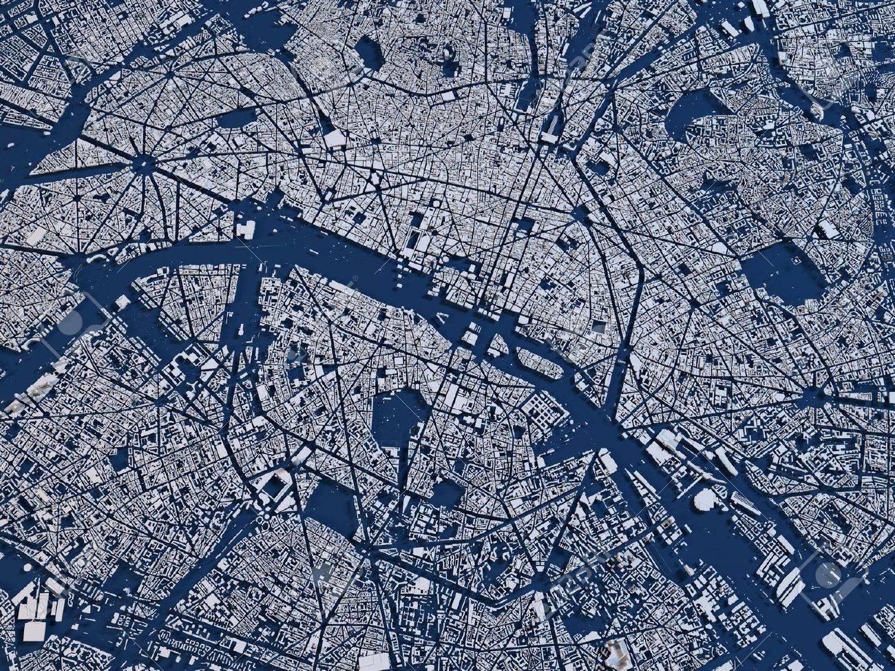
Paris covers an aerial area of 105.39 km2 (41 sq miles) which includes two islands, the Île Saint-Louis and the Île de la Cité as its shown in the aerial map of Paris. This is the oldest section of Paris. Most of the city lies in the "Paris Basin", a low lying continental shelf that has been submerged by ocean waters over geologic time. This has left marine sedimentary deposits such as limestone.