
search
Old Paris map
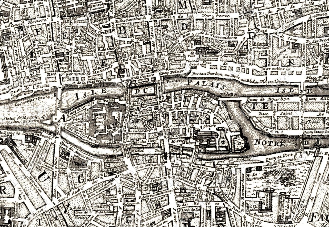
Old Paris map print. Old Paris map (Île-de-France - France) to print. Old Paris map (Île-de-France - France) to download. The first plans of old Paris which have reached us date back only to the sixteenth century. on old Paris map These old plans were drawn in a cavalier view thus showing the buildings in relief. Several remarkable points: Paris described in City, City and University. The old paris city corresponds to the island of the City on which is the royal palace and the bishopric.
On January 1st, 1860 old Paris passes from 12 districts and 48 districts to 20 districts and 80 districts on old paris map . Chart of correspondence between the old and the new paris districts, and denomination fixed by the imperial decree of October 31, 1859 which fixes the limits of the 20 districts, as well as their division in 80 districts (4 for each borough).
On old Paris map print ,the division into arrondissements dates from the French Revolution. But the current arrondissements them, were born in 1859, following the annexation of the bordering communes by Paris, wanted by Napoleon 3 and Baron Haussmann. According to ld Paris map print , It was therefore necessary to redécouper the boroughs. The old districts and the old borders of Paris.