
search
Paris airport map
Paris international airport map. Paris airport map (Île-de-France - France) to print. Paris airport map (Île-de-France - France) to download. Paris airport map has two airports: Orly airport) and Roissy-Charles-de-Gaulle airport . Paris-Orly airport is located south of Paris, between Essonne and Val-de-Marne departments. It is mainly used for domestic flights, European flights, flights to Maghreb, Middle East, and French DOM-TOM. Since the beginning of 2012, flights have been available to Malaysia .
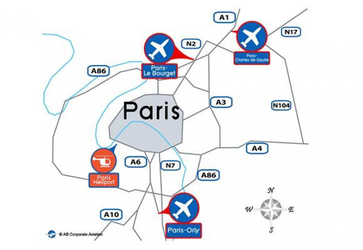
In paris ,Orly airport is the second largest airport in France after Paris CDG airport. On Paris airport map It is composed of 2 terminals: the South terminal and the West Terminal .The airport is located fourteen kilometers south of Paris, near the town of Orly. National and European flights as well as flights to the Middle East arrive and leave mainly from Orly airport.
Paris has two airports, Roissy Charles de Gaulle (CDG) to the north and Orly (ORY) to the south as its shown in Paris airport map. If you arrive in Paris by air, public transport will get you quickly and cheaply into central Paris. Unless you can squeeze five passengers into a taxi, it will certainly be cheaper. There are several hotels located on and around each Paris airport.
Paris-Le Bourget Airport, the international airport which celebrated its 100th anniversary in 2014, is exclusively dedicated to business aviation and is located 7km from Paris and 20km from La Défense. on Paris international airport map It has an area of 553 hectares and three tracks including two independent.