
search
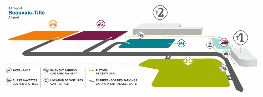
Paris beauvais airport map
Paris airport bva map. Paris beauvais airport map (Île-de-France - France) to print. Paris beauvais airport map (Île-de-France - France) to download. Paris Beauvais Airport is located in the department of Oise, in the North of France. Because of its importance, it is the third airport in the Paris area. According to Paris beauvais airport map It is located 2 km north of the city of Beauvais, in Picardy and about 80 km north of the capital. It is administered by the Oise Chamber of Commerce and Industry.
Paris Beauvais-Tille Airport (IATA: BVA, ICAO: LFOB), in French Aéroport de Beauvais-Tillé, branded as Paris-Beauvais Airport, is one of the three international airports serving Paris, the capital of France. Beauvais Airport is located in Tille commune, Picardy region, close to the municipality of Beauvais, 85 km (53 miles) north-northwest of Paris as its shown in Paris beauvais airport map.