
search
Paris outline map
Map of Paris outline. Paris outline map (Île-de-France - France) to print. Paris outline map (Île-de-France - France) to download. It is often confused the city of Paris and the department proper of Paris outline which gathers on an administrative and territorial plan 20 districts. It is of course the department of France which gathers all the executive. It was not until 1975 that the capital became a territorial collectivity at the same time common and department by vertue of Paris outline map.
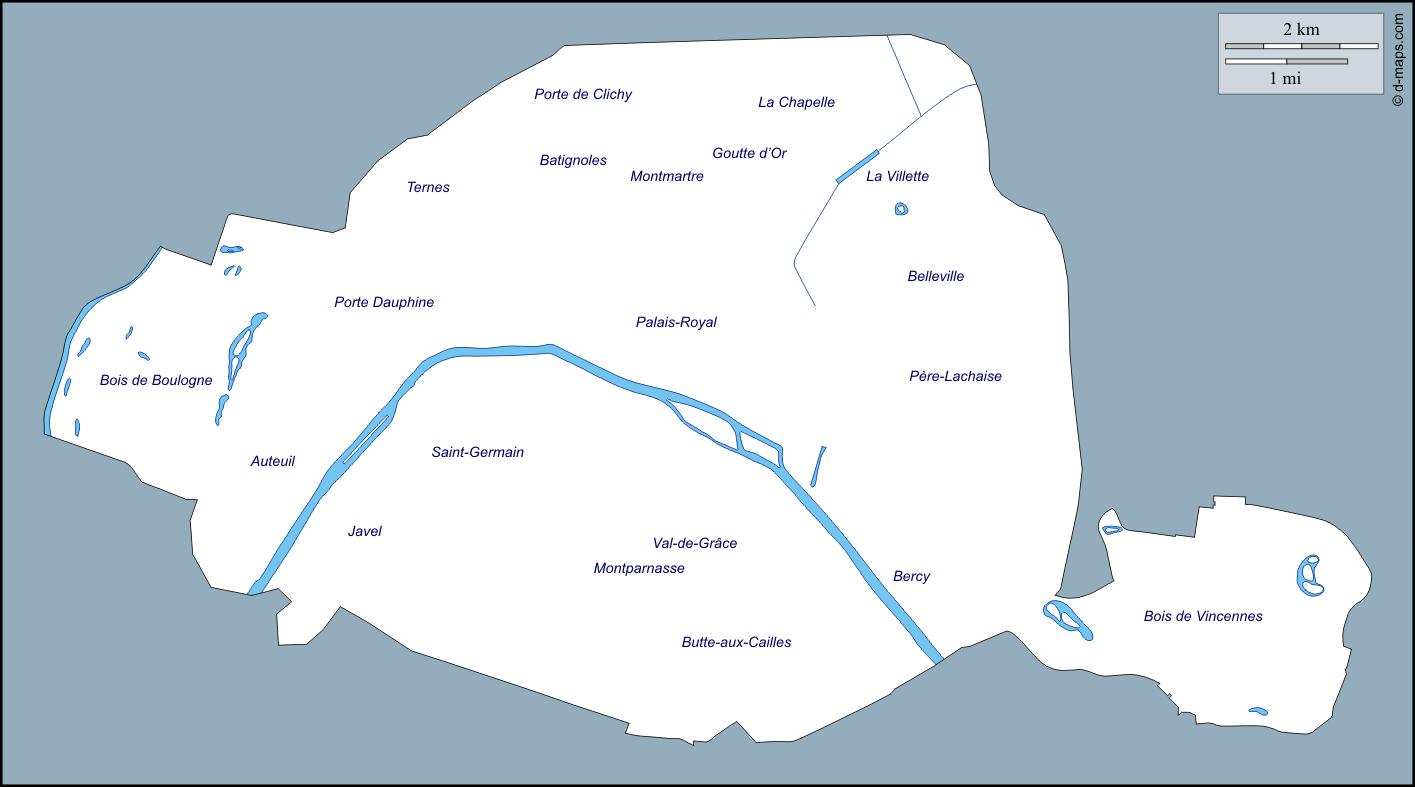
Paris is relatively flat and low-lying. Small islands that include the Ile Saint-Louis and Ile de la Cité facilitated river fords and later bridges at Paris as its shown in the Paris outline map. The Paris basin includes the River Seine watershed above and below the outline map of the city of Paris and measures 310 miles east-west and 186 miles north-south.