
search
Paris satellite map
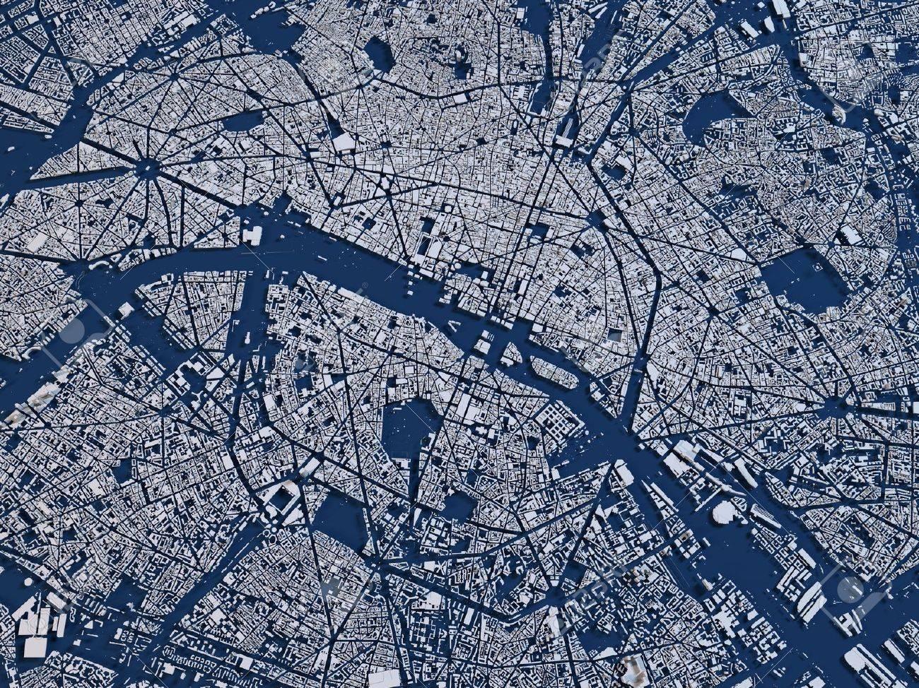
Map of Paris satellite . Paris satellite map (Île-de-France - France) to print. Paris satellite map (Île-de-France - France) to download. This satellite image of Paris was generated from NASA's Moderate Resolution Imaging Spectroradiometer Terra data. On Paris satellite map ,MODIS has been designed to cover the entire surface of the Earth every 1-2 days. Terra is a satellite launched in December 1999 whose main mission is to study terrestrial evolutions and its consequences for life on Earth.
Medium and low spatial resolution satellite imagery of Paris has been used regularly for nearly 30 years to study the terrestrial biosphere over vast areas on map of Paris satellite. On a global scale, the 'wide field' satellites make it possible to follow the seasonal and annual variations of plant cover. They are irreplaceable tools and an important source of information.