search
Physical map of Paris
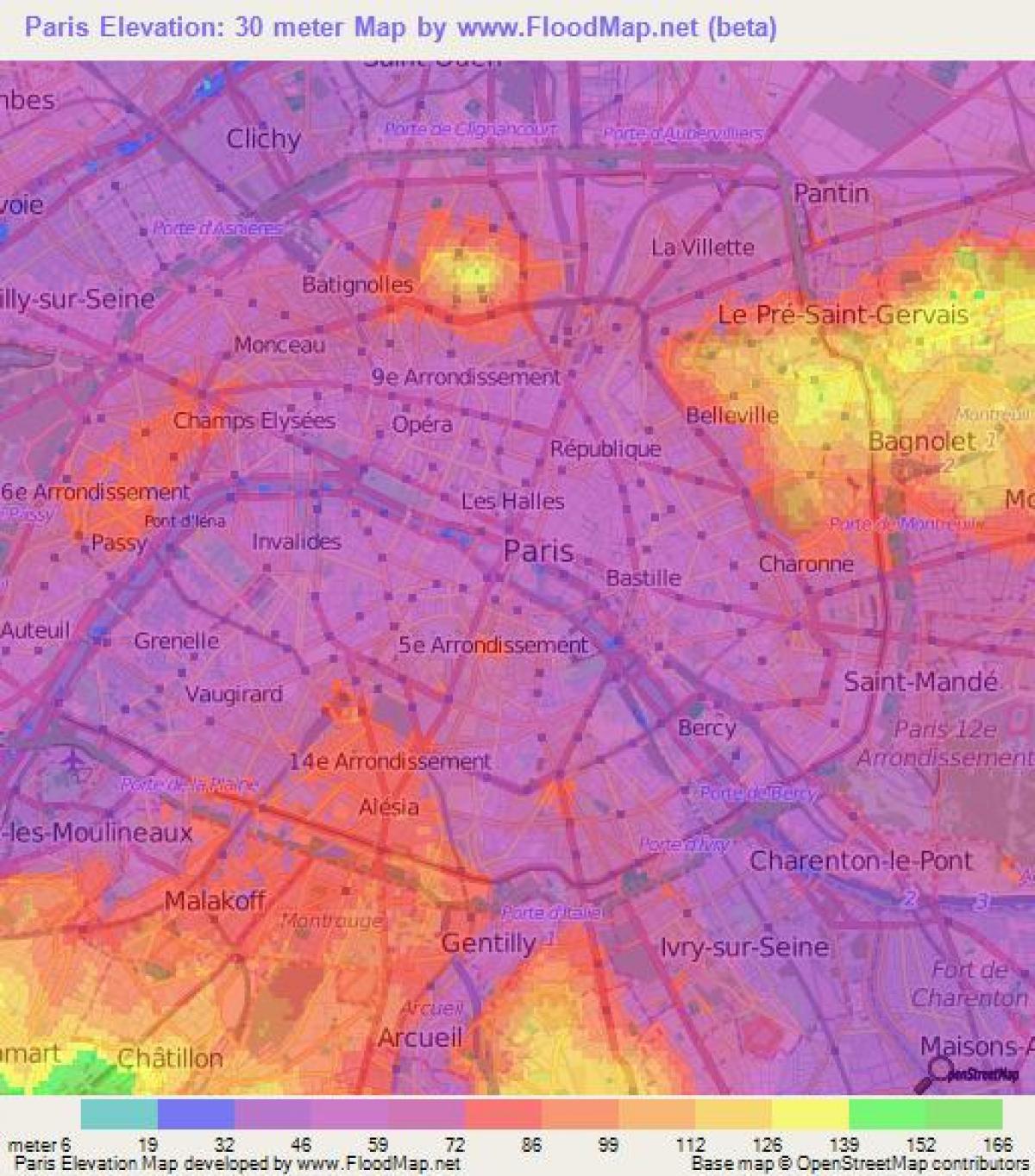
Map of physical Paris. Physical map of Paris (Île-de-France - France) to print. Physical map of Paris (Île-de-France - France) to download. The city of Paris is geographically and physical located in the heart of the vast Paris Basin. Its area if you see the Map of physical Paris is 18 km from east to west and 9.5 km from north to south. Paris is crossed from east to west by the Seine which cuts it into two distinct zones: in the north the "right bank" and in the south the "left bank".
Paris is located on the River Seine and has two islands (they are natural as its shown in the physical map of Paris) They are named 'Ile de la Cite' and 'Ile Saint-Louis'. They are connected by bridges. Ile de la Cite is in the center of Paris. Paris is located in the middle of a physical basin, the Paris basin, which have a relatively flat relief, irrigated by a navigable river, the Seine, whose main tributaries converge precisely in this region.


